Hongo Campus Historical Buildings Map (iiif_geo)
- Image
- Georeference
A bird’s-eye view of the Imperial University campus, georeferenced with the IIIF Georeference Extension. Kasane shows the image and its control points beside a modern map. Selecting a point picks the same place on both, and the image can be overlaid on the map. The control points are labelled with current building names from OpenStreetMap.
News about this example
More use cases
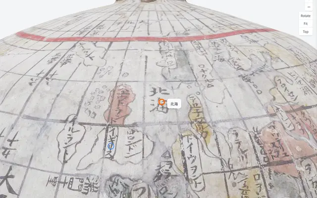 Ishibuchi family globe (annotations on a 3D model)
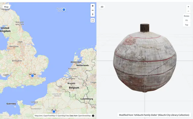 Ishibuchi family globe (3D beside a map)
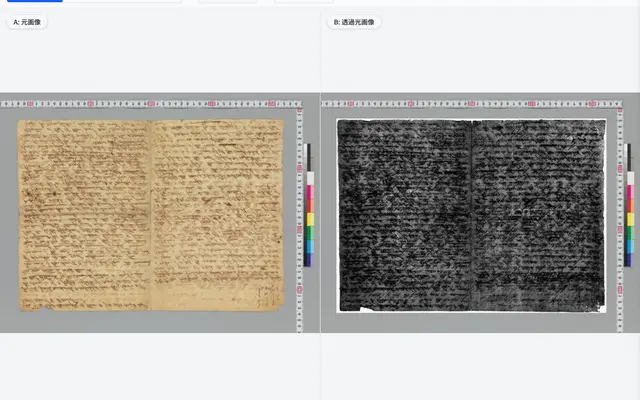 Shelley manuscript (original and transmitted-light images)
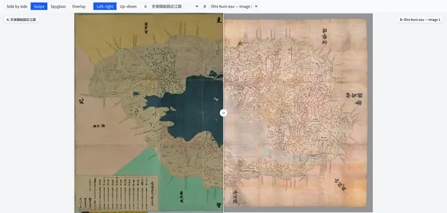 Comparing provincial maps (Tenpō kuniezu, Ōmi Province)
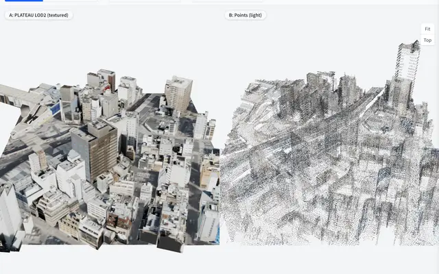 Ueno station area: point cloud and building models side by side
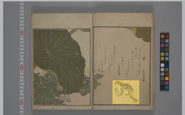 IIIF Curation API example (CODH sample)
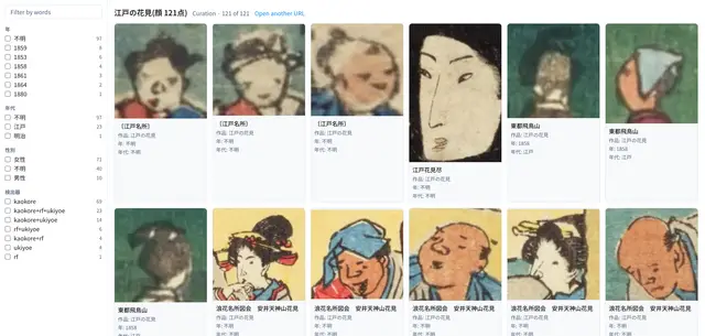 Searching a curation (121 faces in Edo hanami prints)
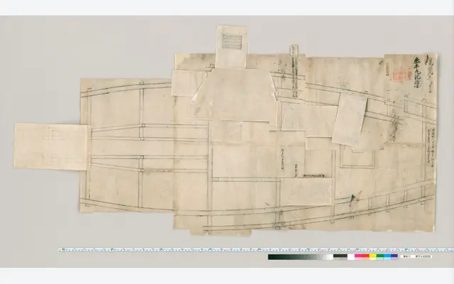 Okoshi-ezu from the Dai Nihon Kaishi materials (Taiheimaru)
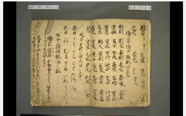 Meizukushi, National Diet Library (classical-text OCR in the browser)
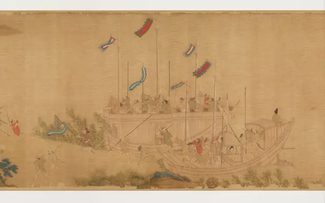 Wakō zukan, Historiographical Institute, The University of Tokyo (story)
 Wellcome Collection material behind a content advisory (IIIF Auth API 2.0)
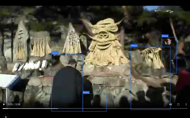 Ashinoshiri Dosojin Festival, Shinshu Digital Commons (boxes on objects in a video)