Ueno station area: point cloud and building models side by side
- 3D
- Compare
PLATEAU building models and LiDAR points of the same area, compared side by side, with a swipe, or through a spyglass.
News about this example
More use cases
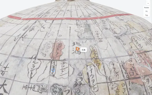 Ishibuchi family globe (annotations on a 3D model)
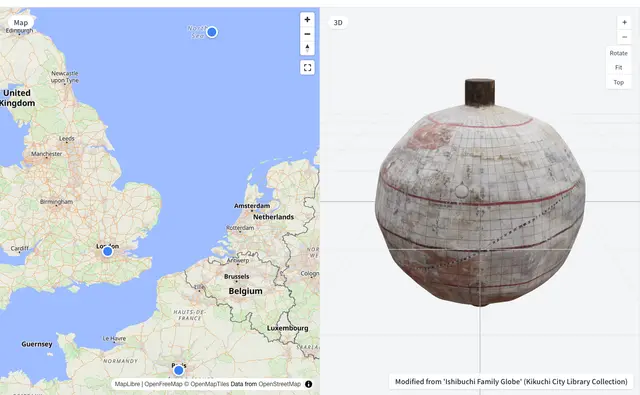 Ishibuchi family globe (3D beside a map)
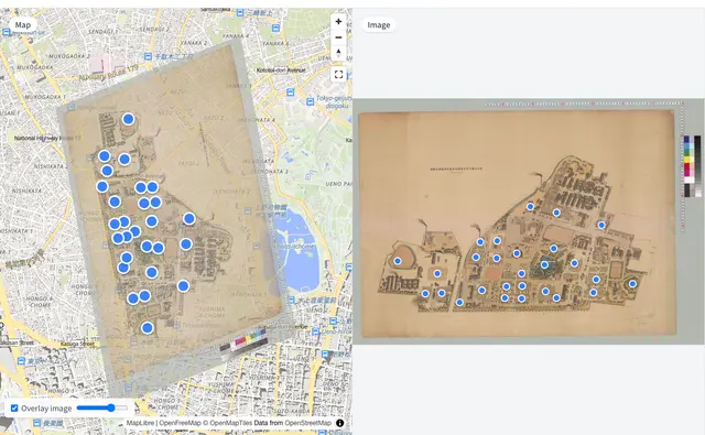 Hongo Campus Historical Buildings Map (iiif_geo)
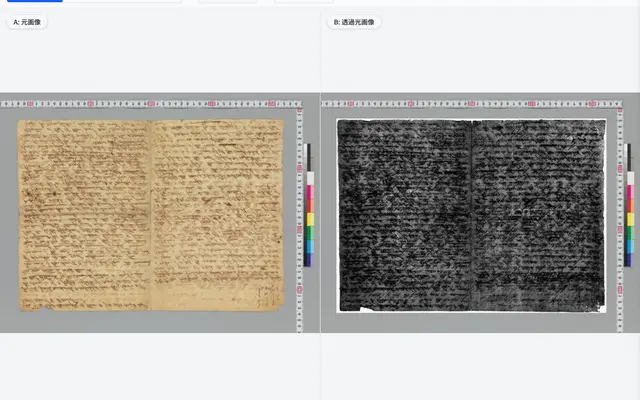 Shelley manuscript (original and transmitted-light images)
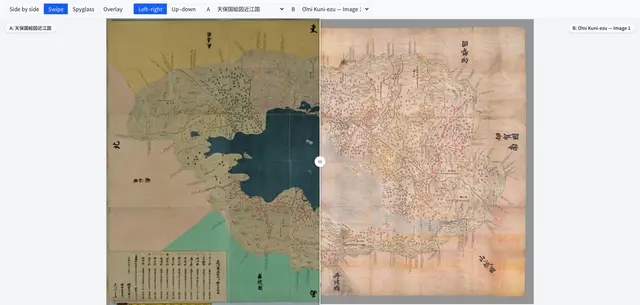 Comparing provincial maps (Tenpō kuniezu, Ōmi Province)
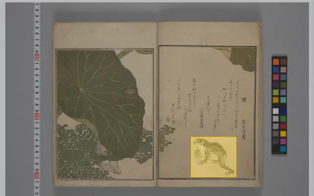 IIIF Curation API example (CODH sample)
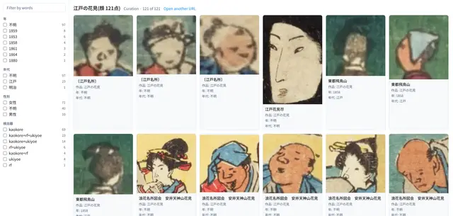 Searching a curation (121 faces in Edo hanami prints)
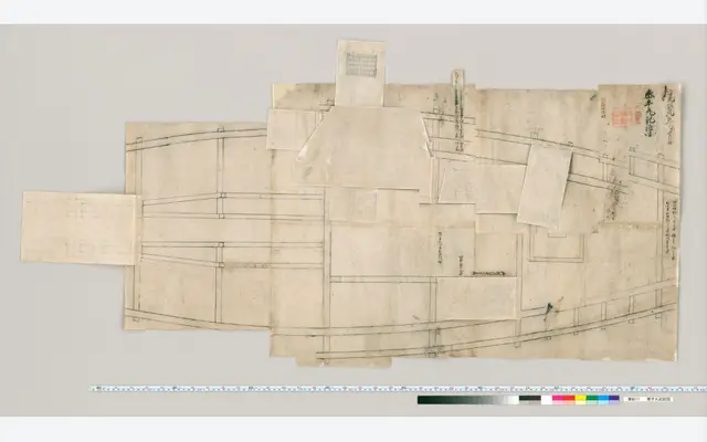 Okoshi-ezu from the Dai Nihon Kaishi materials (Taiheimaru)
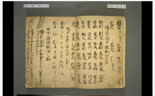 Meizukushi, National Diet Library (classical-text OCR in the browser)
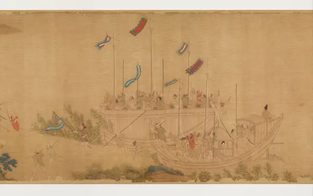 Wakō zukan, Historiographical Institute, The University of Tokyo (story)
 Wellcome Collection material behind a content advisory (IIIF Auth API 2.0)
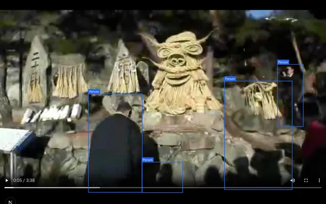 Ashinoshiri Dosojin Festival, Shinshu Digital Commons (boxes on objects in a video)